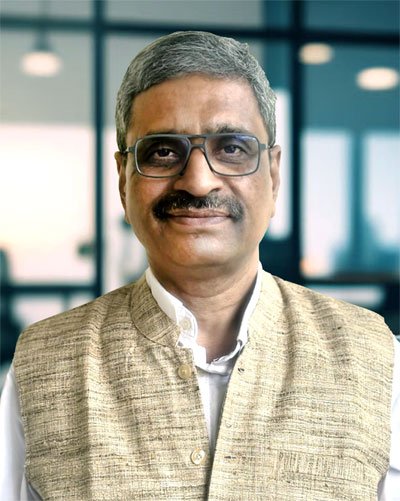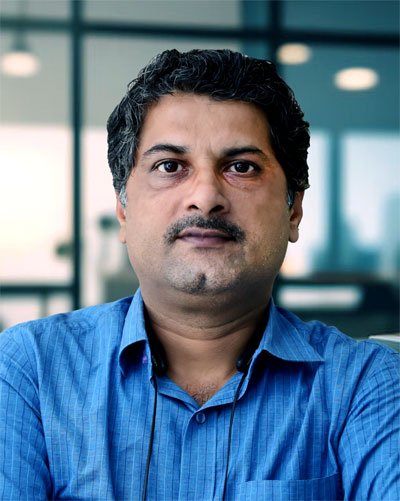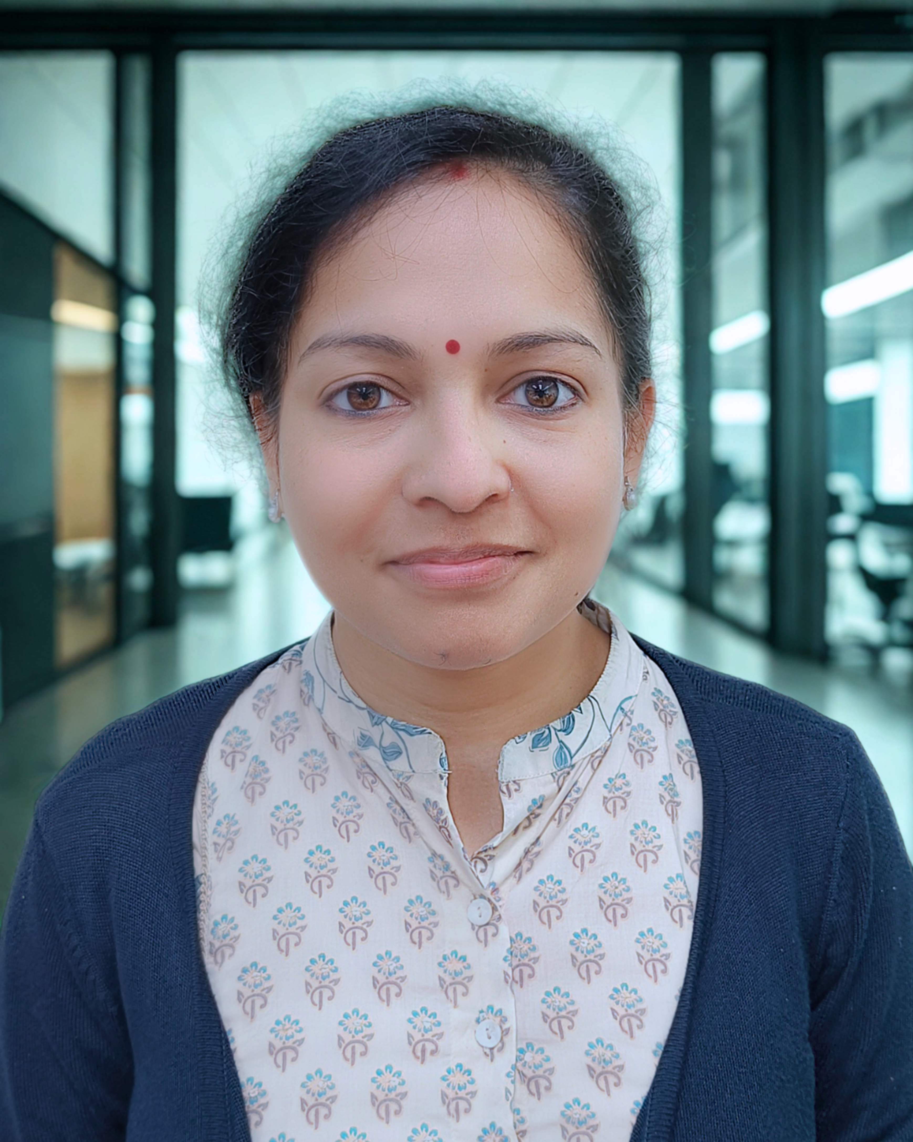
Mr. Chinmay Tripathy
Chief Executive Officer

Mr. Sanjeev Kumar Das
Mentor-in-Chief

Mr. Gopesh Shrivastava
Director

Mr. Swagat Satpathy
Vice President, Business Operations

Mr. Ashok Tarai
Vice President, Engineering

Mr. Abhay Rath
Associate Vice President, Engineering

Mr. Ajaya Kumar Sahoo
Chief General Manager, GIS & IT

Mr. Bhaskar Samanta
Senior General Manager, Engineering

Mr. Ajaya Kumar Sahoo
Senior General Manager, Finance & Accounts

Mr. Shaik Jakir Hussain
General Manager, Structural Engineering

Mr. K Vigneswar Rao
General Manager, Design Engineering

Mr. Satyaranjan Jati
General Manager, Engineering

Mr. Shyamal Kishore Das
Deputy General Manager, Communications & Outreach

Mr. Prasanta Panda
Deputy General Manager, Accounts

Mr. Tarun Dubey
Deputy General Manager, Design Engineering

Mr. Satyanarayan Mishra
Deputy General Manager, Engineering

Mr. Pradip Kumar Swain
Associate General Manager, GIS

Mr. Bijjam Chandrasekhar
Associate General Manager, Engineering

Mr. Abhaya Kumar Tripathy
Associate General Manager

Ms. Rupinder Kaur
Chief Manager, GIS & Urban Planning

Mr. Santosh Nayak
Chief Manager, GIS

Ms. Ananyaa Patnaik
Senior Manager, Human Resources

Mr. Bunesh Kumar Majhi
Senior Manager, Engineering

Mr. Deepak Bharati
Senior Manager, Engineering

Ms. Smruti Rana
Senior Manager, Design Engineering

Mr. Krishnaji Gopi
Senior Manager, Engineering

Mr. Govinda Panigrahi
Senior Manager, GIS


